
Bathymetric and Sediment Survey of A Settling Basin
Background
SDI was contracted by a forest products company to perform a bathymetric and sediment survey for their settling basin. This was a man-made basin and was used as an aerated settling basin for the effluent from the mill. The objective of this survey was to map the existing water bottom and to define the sediment distribution throughout the settling basin by utilizing SDI manufactured BSS 3+ subbottom profiler and VibeCore D sediment sampler. A series of surface plots of the water bottom, sediment bottom and sediment thickness was to be generated from the resulting data collection.

Data Acquisition
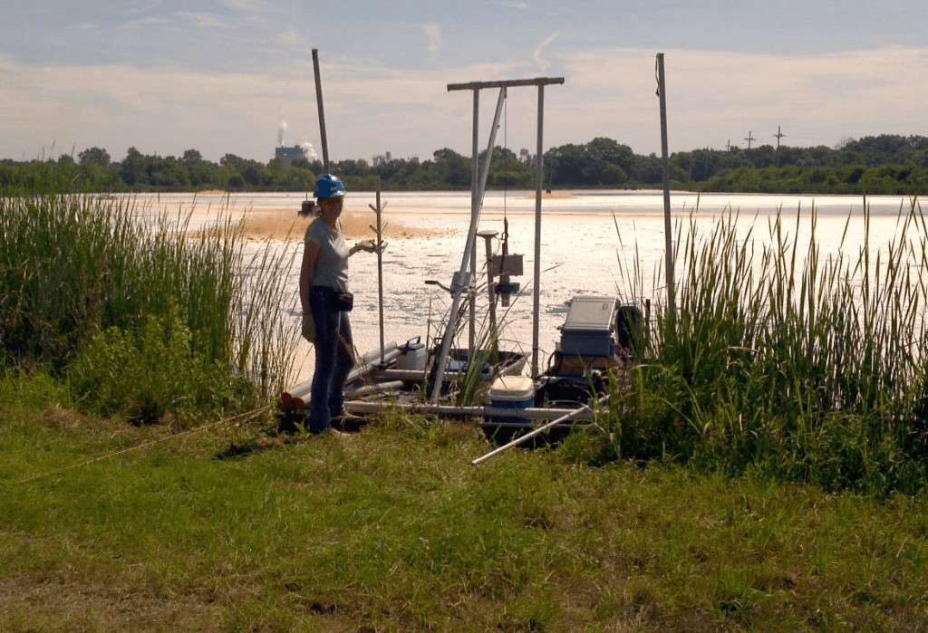
The survey equipment was selected to accommodate the shallow water, limited access and anticipated sediment depths possible at the site. The acoustic bathymetric and subbottom data was acquired by an SDI BSS 3+ sediment profiler system equipped with a DGPS navigation system. Core sampling was performed using SDI VibeCore D vibracorer in order to provide ground truth. A series of push probes were performed to increase the density of sediment depth control points for correlation with the acoustic records.
Results
Collected acoustic data along with core sampling and push probe sampling data was processed with SDI Depthpic software. A high-resolution bathymetric map, as well as sediment thickness map, was successfully generated for the customer.
Equipment Used


